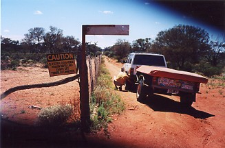
Just near the end of the track near the railway line you get to cross the Dingo Fence again which is over twice the length of the Great China Wall at 5500 kms long. It was to keep the Dingos and rabbits out of the south away from the sheep. It stretches right across from the sea in Western Australia to Queensland in the north. It has to be maintained all the time and even when we passed along it the storms had brought down parts of the fence when trees fell on it. Now you have to be careful as Malbooma and Tarcoola are listed on some maps as having fuel but neither do as mostly they are abandoned. There was no one at all at Malbooma but it looks like it would still be used at mustering time and at Tarcoola people still live there but the Hotel and all shops are closed. The nearest place is Glendambo which is 350 kms from Ceduna unless you do all the side tracks which adds up to an extra 170 kms. You can also fill up at Mount Ive at the bottom of Lake Gairdner if you head south from Kingoonya ( no fuel here either ).
Argh, it's eaten my head! Lunch at the dingo fence which is the longest structure in the world at 5500 kms.
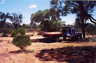
What we did is head south from Kingoonya to Kokatha and onto Kangaroo Well and Moonaree sheep stations following the West side of Lake Gairdner. These are well formed gravel roads with a bit of bull dust thrown in in a few places. We didn't meet or see anyone on this very hot day. We did find an old Cherokee behind an abandoned service station in Kingoonya which was really a meeting of the old and the new 40 years in between.
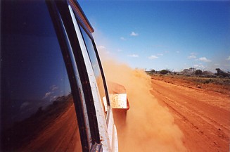
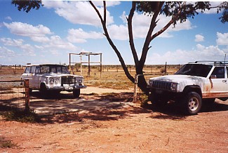
Driving through a bit of bull dust and an old Cherokee meets the 40 years on later one.
Now we knew that you could gain access to Lake Gairdner from the south after asking and paying for a key at Mount Ive as they hold speed trials there every year. Some of the world land speed records have been set here too. But I kept an eye out for any tracks leading to the lake when we could see it from the road. Turns out that there is an official track to the lake along with free camping provided by the Parks service. It is at the Waltumba tank and pump at these GPS co-ordinates S32*07'10.5" E135*52'36.8" There is just a short track in ending with camping among the trees. You cannot drive on the lake and you would not want to here either as the crust is very thin and you can see where people have tried and sunk!
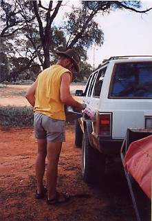
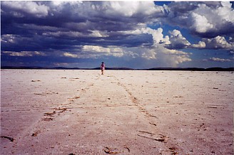
Outback re-fuel to help cover the 700 km trip between stations. A walk on Lake Gairdner just before the storm hit.
While we were at the Lake a big storm was on the way over and we could see it was already raining on the other side of it. So we quickly ran back and set up camp before it hit. Well it really came down but it did drop the temperature from the high 30's to the high 20's which was a welcome relief. In fact the water was warm so we stripped off and stood in the rain so we could get a good wash to rid ourselves of the bulldust. Very refreshing indeed ;) So from the lake we headed past Mount Ive and hit the tar once more at Iron Knob totalling 700 kms and then onto Port Augusta for a much needed refuel. We spent new years eve at the Mt Remarkable NP. with only a couple of other campers which were all asleep by nine but we thought we would at least see in the new year Melbourne time. From there it was a camp outside Mildura and then home after a very nice trouble free trip.
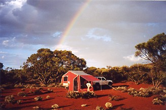
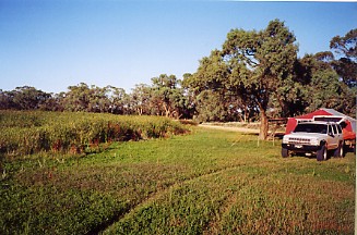
Camping on the shores of Lake Gairdner just after the storm hit and our last camp of the trip near Mildura.
[BACK][1][2][3][4][5][6][7][8][9][10][NEXT]