Melbourne to the tip of Australia returning via Western Queensland
This trip was done in December 1998
Because of our love for opals, we first crossed two states ( Victoria & New South Wales ) to get to the Lightening Ridge opals fields where we noodled in the mullock heaps for opal pieces and picked up some good samples. It was then on to Carnarvon Gorge NP. where we did most of the hikes up this gorge which is very impressive with it's many offshoots to the side as well.
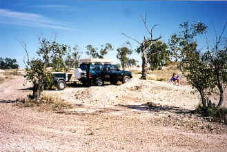
Digging for opals at Lightening Ridge & Carnarvon Gorge dwarfing me in the foreground.
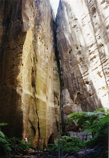
From there we followed the Queensland Coast up from Rockhampton through Townsville all the way to Cairns a thousand kms further up the coast. It was then time to re-stock all fuel, water and food as it is the last major town and sealed roads for over two thousand kms to the top and back. We took the four wheel drive track through the Daintree NP. which is lush tropical rain forest which had a few 2wd cars rolled at the bottom of some of the climbs. Visited Cape Tribulation and Bloomfield Falls on the way to Cooktown.
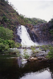
Bloomfield River & Falls, Daintree NP.
After Cooktown it was 4wdrive tracks all the way through many flooded rivers tracks and swamps in the Lakefield NP. It was a little hairy crossing one of the swamps as we had the wheels turning over a lot faster than the vehicle was travelling and was getting slower and slower and I just kept staring at the trees on the other side and hoping we would get within winch cable length. With mud flying everywhere and the trailer turning black we just made it to the other side, phew! Wasn't looking forward to digging and winching out of that one all on our own as we never did meet anyone while we were there. Saw large numbers of birds and wildlife being there at such a quiet time and enjoyed looking through the old Laura Homestead as well.
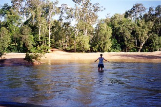
Normanby River Lakefield NP. & Lisa depth checking the Laura River
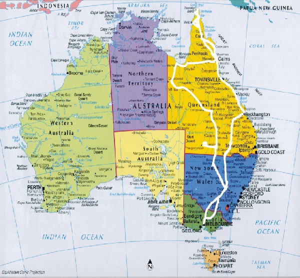
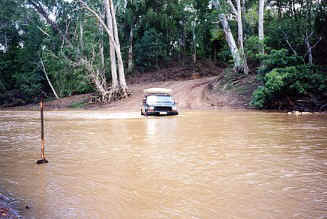
Got back to the gravel Peninsula Development road at Musgrave homestead and headed up to Acher River where we topped up the tanks as it was the last place before hitting the top. We carried 90 litres in the tank as well as 50 litres in Jerry cans in the trailer and used nearly all of it due to all the mud and flooded roads we went up to get there even though it was only less than 400 kms. These roads are normally covered in bull dust ( a very fine talc like dust ) up to a foot deep in places but now we had none of that because it had turned to mud with the rain instead! The next thing was to try and get across the Wenlock river which is the biggest crossing we had to do and what could stop us getting to the top.